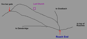
Walk1
Circular walk from Roach End to Lud Church and Back Forest Ridge
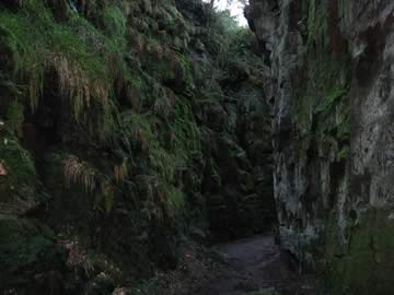
Lud Church is a rocky chasm about 15 metres(50 feet) deep in the hillside. It has a history of being used for various religious purposes.
Total time about 1 to 2hours - approx 3 miles.
For those who want to use GPS on their phone or other device Matt Vokes provided this .gpx file. You will have to have to sign in to your Google Drive account or register to download it.
If you prefer to get the file from Dropbox then click here
You can view Walk 1 in Google maps here
Directions to Roach End - take the A53 Buxton road from Leek through Blackshaw Moor, past the Three Horseshoes Inn, up the steep hill Cat Tor and at the cross roads just before the Winking Man pub turn left. (This is about 5 miles from leek).Take the next left and soon after the right fork then continue for about 2 miles until you reach a gate across the road. This is Roach End.
Click on the image for a bigger picture
1.Park at Roach End. There is on-road parking for about 20 cars. Please park responsibly and ensure Emergency vehicles can pass.
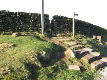
2.Start the walk by making your way through the gap in the wall then turning immediately right to go over the stile.
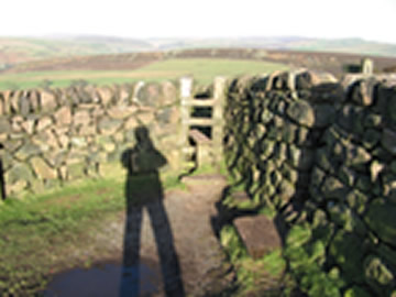
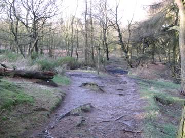
3.Continue down the path following the wall on your right. After about 10mins at the bottom of the hill continue into the wood, over a stream then turn left up the hill. It is sign posted Lud church & Swythamley.
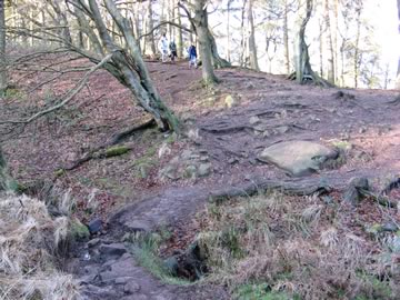
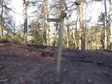
4.Continue through the wood along the well trodden path. The path can be quite wet in places. After about 15 mins you will come to a fork. Take the left hand fork signposted Lud Church.
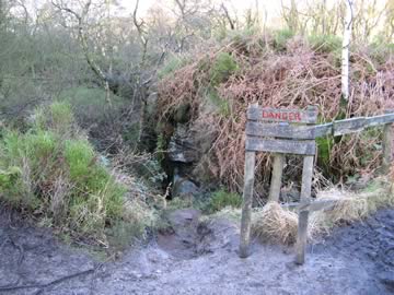
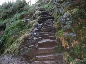
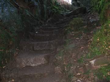
5.Lud Church is a further 5-10mins along the path. At the sign saying 'Danger concealed cliff edge' keep straight on, with the Danger sign on your right, for about 20 metres. Enter the chasm down the very steep steps taking great care! The picture is of the steps from the bottom.
6.Wander through the the chasm until you get to the very steep steps going out. It can be extremely muddy at the bottom of these steps, hiking boots or even wellingtons are recommended if the weather has been wet. At the top of the steps keep right until you emerge onto the path and turn to the left.
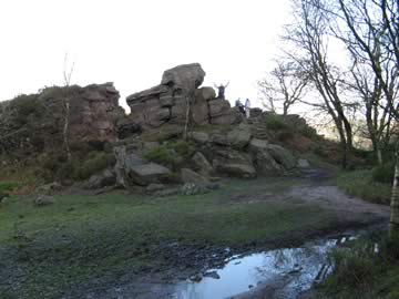
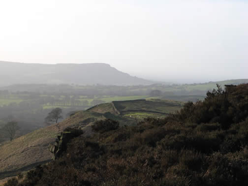
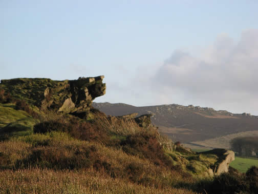
7.Follow the path, which is now a bridleway, for a couple of minutes and you will see an interesting rock formation on your right called Castle Cliff Rock which gives good views of the valley.
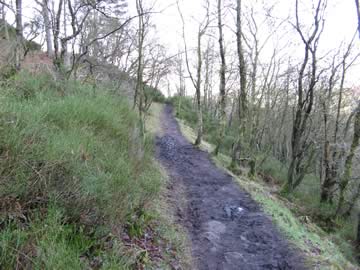
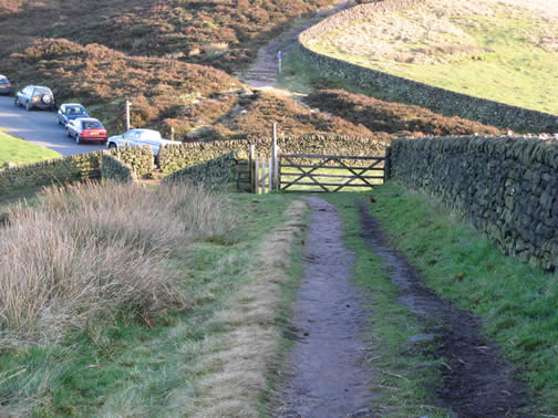
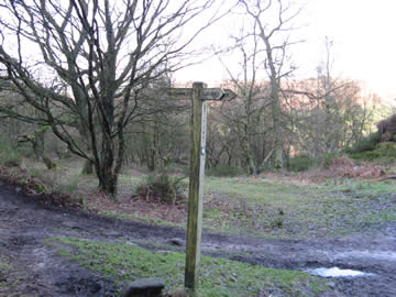
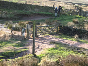
8.Continue on the bridleway for about 10 mins and at the signpost continue straight on towards Swythamley. The bridleway is very wet but a path has been forged to the left around the bad bits. After a further 10-15 mins you come to a tee junction with a five bar gate dead ahead. Take the left path signposted Roach End
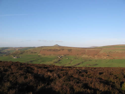
9.Carry on up the hill onto the ridge. At the top if you look hard you might just see your car ahead about 30-40 mins walk away! The path is very well marked across the ridge. To your left you can see Shuttlingslowe. To the right and behind there's Bosley Cloud.
10.Along the Ridge there's a rock outcrop that looks a little like the Winking Man on Ramshaw.
11. Back at Roach End. The End!