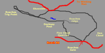
Walk 5
Circular walk from Roaches gate to Five Clouds Quarries, Docksey Pool, Roaches highest point, Shawside and return between Hen Cloud and the Roaches. A short detour to the Bawdstone can be included
Total time about 2hr 30mins - about 4miles.
For those who want to use GPS on their phone or other device Matt Vokes provided this .gpx file. You will have to have to sign in to your Google Drive account or register to download it.
If you prefer to get the file from Dropbox then click here
You can view Walk 5 in Google maps here
Directions to Roaches gate
Take the A53 Buxton Road from Leek. After about 3 miles you'll pass the
Three Horse Shoes Inn on your left. Continue for about another 0.5 miles
until you start to climb a steep hill, take the left turn signposted Upperhulme.
After about 100metres take left fork. If you reach the Rock Inn you've
gone too far. Follow the road through Upper Hulme with the waterfall on
your right. Keep to the road as it twists through the factory units for
about 1.5miles until you come to lay-bys on your right. Continue round
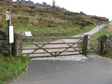
the bend until you come to a bus stop. This is Roaches Gate. There is
parking for about 50 cars.
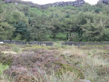
Click on the image for a bigger picture
1.Start the walk by going through the gate and taking the path to the
left.
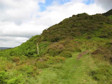
2.Continue along the path for about 5-10mins to a fork, turn right up
the steps. Around here are the Five Clouds quarries. Many of the houses
in the area were built of the stone from these quarries. Windygates Hall
farm is dated from 1634 so these quarries are old. There are a couple
of derelict buildings in one of the quarries.
3.At the top of the steps continue forward across the plateau towards
a gate-hole in the wall surrounding the wood. Then continue straight forward
until after about 5 mins you reach the steps to the top of the ridge.
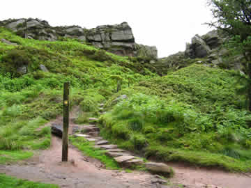
4.At the top of the steps turn left along the ridge. It has taken
about 25 mins to this point.
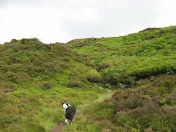
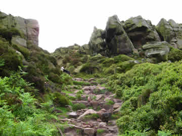
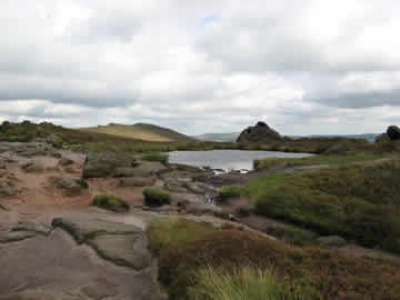
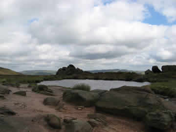
5.Continue along the ridge for about 10 mins, (there are weird rock
formations and dramatic views here) until you reach Docksey pool. This
is supposed to be bottomless and connected by underground channels to
Mermaid pool near the Mermaid pub about 3 miles away to the south. It
is also the highest pool in the Peak district.
6. Keep going along the ridge. Take note after about 7 mins of a break
in a wall to the right. This is the path down you will take after you
have visited the Trig point.
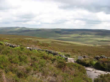
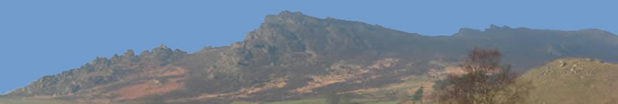
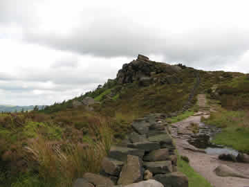
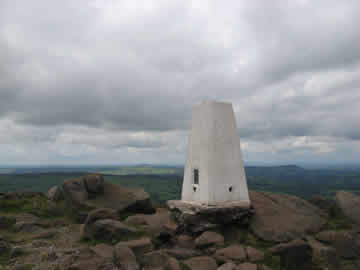
7.Carry on along the ridge for about 15 mins until you arrive at the Trig
point. To the west are Bosley cloud and Mow Cop. To the north Shuttlingslowe
and to the east Axe Edge.
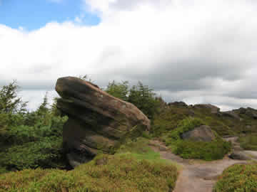
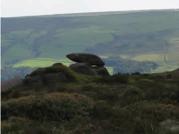
8. Return the way you have come for about 15mins. To your left you
will see a rock balanced on two others about 20 yards from the main path.
When you are opposite this rock the path forks with 6 steps going up to
your right, take the fork to your left down with the balancing rock to
your left.
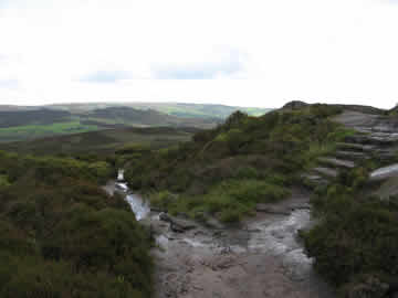
9. Continue down the path through the heather and bilberries for about
10-15 mins until you reach the road. (The paths
from now on can be a bit wet in rainy weather but nothing normal walking
boots can't cope with.) Close to the bottom there is a rotting wooden
hide which was used for grouse shooting. There could still be the odd
grouse on the moor. At the road turn right, go over the cattle grid then
turn right into the driveway about 50 yards on.

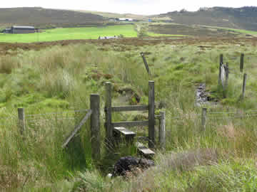
10.Continue up the drive until you come to a stile on your left. Over
the stile follow the signs and path to another stile.


11.Over this stile continue along the path to another stile about 5 mins
further on. Over this stile follow the arrow along the path to a gate
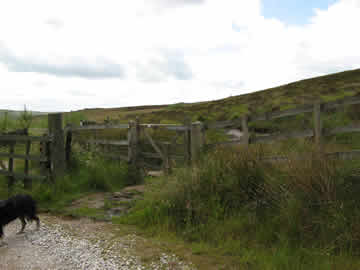
across a track. Go over the stile by the gate.
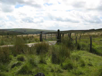
12.Follow the track for about 5 mins to a single gate in the fence on
your right. Follow the arrow through the gate and continue along the path.
(After about 15 minutes or 650 metres if you want to take a detour to see the Bawdstone then take the well trodden path on your left to Hen Cloud through the gate in the wall . The Bawdstone is about a hundred metres along the path on the left after passing through another gate in a wall).
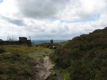
13.If you don't take the detour, continue along the well marked path from the single gate mentioned above for approx 20 mins when you will
return to the Roaches gate and the end of the walk.
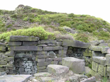
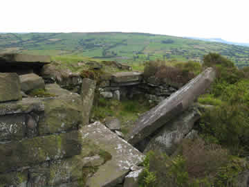
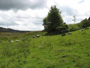
On your way to the right there is a derelict house called New Lodge.
It has not been occupied for at least 40 years but as the electicity pole
demonstrates it had electricity before it fell into disrepair.